

NSW Survey Marks
المطور: DFSI Spatial Services (Department of Finance, Services and Innovation Spatial Services)
This tool is designed to help NSW surveyors working in the field to locate, review and report on survey mark information.
The app is open to the public, however, the target customer base are surveyors and members of the spatial and construction industries.
The NSW Survey Marks App enables users to:
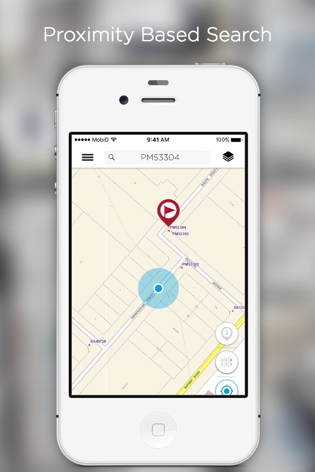
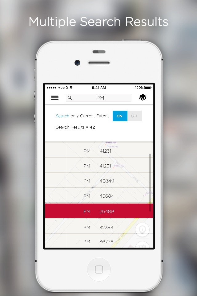
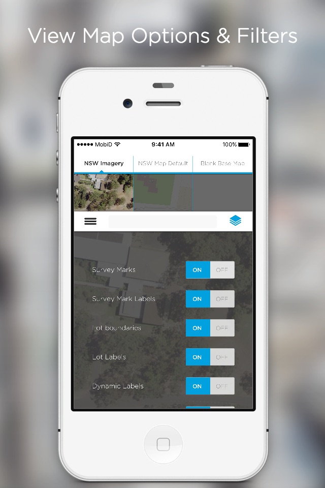
• Search and view the location of survey marks against various NSW base maps and imagery
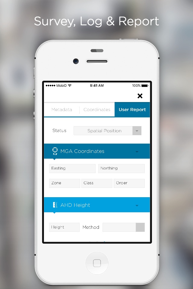
• View the published SCIMS coordinate values pertaining to a survey mark including metadata such as accuracy and projection parameters
• Retrieve and view a survey marks Sketch Plan
• Report back to DCS Spatial Services the status of a survey mark (i.e. found intact, not found, damaged, destroyed etc.)